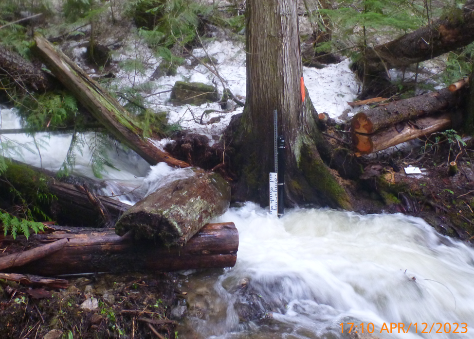
Photo for Dumont Creek Hydrometric Station
Download: llc_photo_dumontcreek_mckdum01h_20230825.png
Photo of Dumont Creek Hydrometric Station
Resource metadata
| Field | Value |
| Data last updated | October 5, 2023 |
| Metadata last updated | May 30, 2025 |
| Created | August 25, 2023 |
| Format | JPEG |
| License | Amended CC-BY-SA-4.0 |
| Data collection info | N/A |
| Data processing | N/A |
| Data type | non-lab |
| Datastore active | False |
| Datastore contains all records of source file | False |
| Has views | True |
| Id | 04b5b356-4d85-47a6-8054-d191790a0eff |
| Mimetype | image/png |
| Package id | 26435297-f195-498f-a57b-b56c343ce520 |
| Position | 2 |
| Recent qa date | 2023-08-25 |
| Resource citation | Living Lakes Canada. (2023). Photo for Dumont Creek Hydrometric Station [Resource]. Columbia Basin Water Hub. https://doi.org/10.48511/mm7mg5sv |
| Resource data disclaimer | No warranty or guarantee exists that the information is accurate, complete, current, or suitable for any purpose. The individual user must confirm the accuracy of the data and whether it will be appropriate for their purpose. |
| Resource location | Monitoring station located approximately 2 km east of Winlaw. |
| Size | 1.6 MiB |
| State | active |
| Url type | upload |
| Waterhub grade | People and Perspectives |
| Citation (Required) | Living Lakes Canada. (2023). Photo for Dumont Creek Hydrometric Station [Resource]. Columbia Basin Water Hub. https://doi.org/10.48511/mm7mg5sv |
| Resource Location | Monitoring station located approximately 2 km east of Winlaw. |
| Data Collection Information | N/A |
| Data Processing | N/A |
| Data Disclaimer | No warranty or guarantee exists that the information is accurate, complete, current, or suitable for any purpose. The individual user must confirm the accuracy of the data and whether it will be appropriate for their purpose. |
| Water Hub Data Grade | People and Perspectives |
| Date of Most Recent Water Hub QA/QC | 2023-08-25 |
| Data type | General |
Site
No data available
Parameter
No data available