You're currently viewing an old version of this dataset. To see the current version, click here.
Willie Phillips Creek Hydrometric (UKKWIL01H)
Data and Resources
-
Preliminary Water Level (2022-09-29 to...
CSV
Preliminary data for Willie Phillips Creek. A finalized...
-
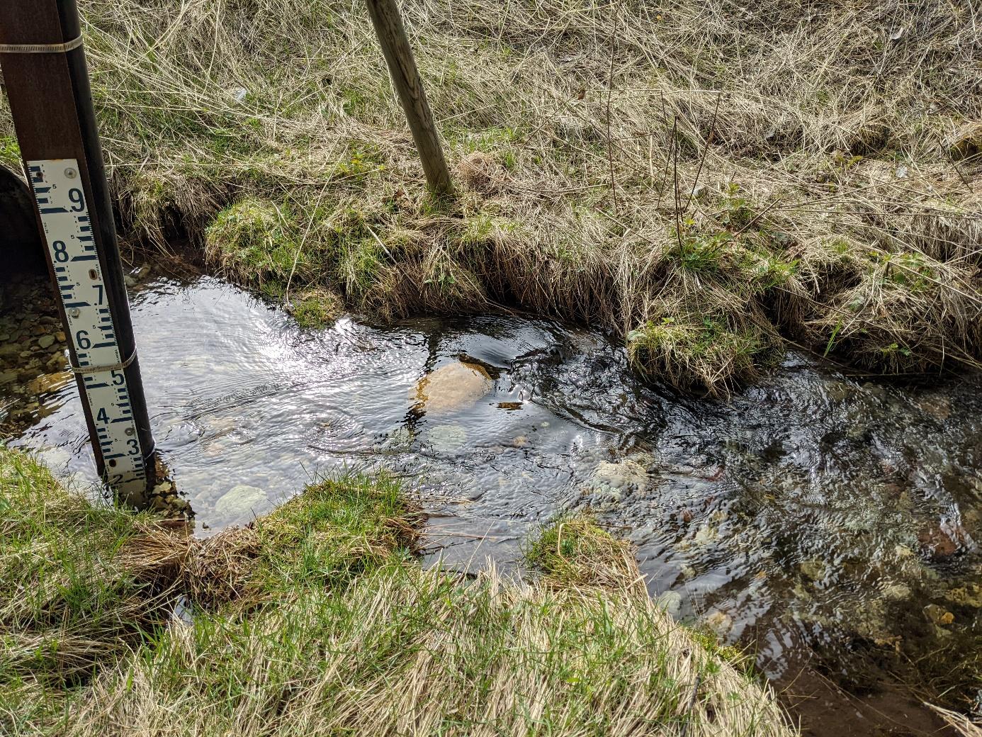
Photo for Willie Phillips Creek Hydrometric Station
JPEG
Photo of Willie Phillips Creek Hydrometric Station