You're currently viewing an old version of this dataset. To see the current version, click here.
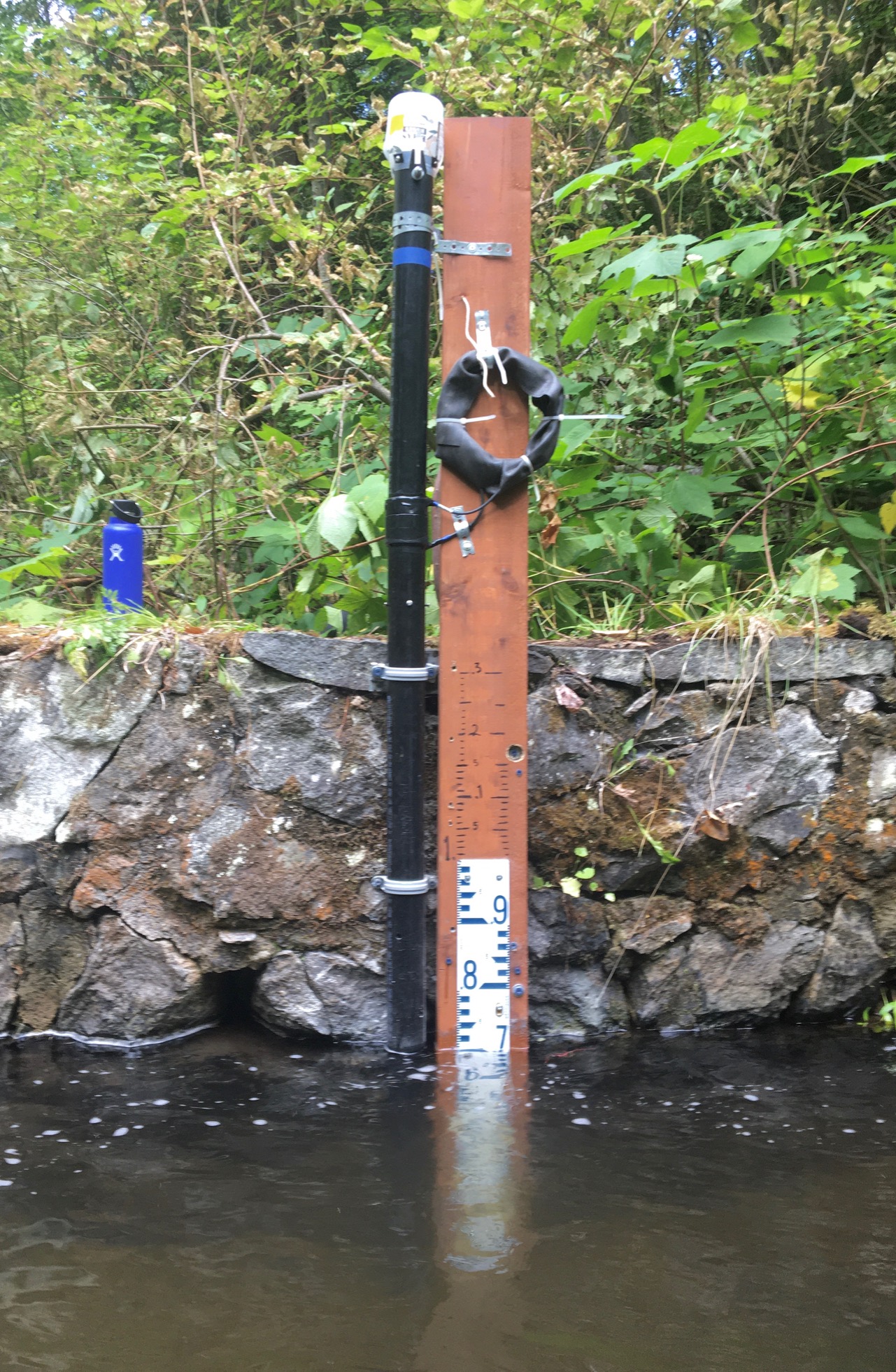
Photo (2021) Cambridge Creek (02) Gauge
Download: rossland_wl_loggerstaff_gauge.jpg
Photo of staff gauge and monitoring station on Cambridge Creek.
Resource metadata
| Field | Value |
| Data last updated | December 17, 2021 |
| Metadata last updated | May 12, 2022 |
| Created | December 17, 2021 |
| Format | JPEG |
| License | CC-BY-SA-4.0 |
| Data collection info | N/A |
| Data processing | N/A |
| Has views | True |
| Hash | 06e2251067bf9c6b2953627114f3daec |
| Id | 65b49883-c6eb-46b3-a643-08703e178c54 |
| Mimetype | image/jpeg |
| Package id | 4205d379-1715-42df-b413-c7dbf459682d |
| Position | 1 |
| Resource citation | Bill Coedy/Rossland Streamkeepers. (2021). Photo (2021) Cambridge Creek (02) Gauge. Columbia Basin Water Hub [Resource]. Rossland, BC. https://doi.org/10.48511/CGY5-QN70 |
| Resource data disclaimer | No warranty or guarantee exists that the information is accurate, complete, current, or suitable for any purpose. The individual user must confirm the accuracy of the data and whether it will be appropriate for their purpose. |
| Resource location | Logger station at the old City of Trail weir lower Cambridge Creek 50m upstream from Trail Creek |
| Size | 878.4 KiB |
| State | active |
| Url type | upload |
| Waterhub certified | Certified |
| Waterhub grade | People and Perspectives |
| upload | |
| Citation (Required) | Bill Coedy/Rossland Streamkeepers. (2021). Photo (2021) Cambridge Creek (02) Gauge. Columbia Basin Water Hub [Resource]. Rossland, BC. https://doi.org/10.48511/CGY5-QN70 |
| Resource Location | Logger station at the old City of Trail weir lower Cambridge Creek 50m upstream from Trail Creek |
| Data Collection Information | N/A |
| Data Processing | N/A |
| Data Disclaimer | No warranty or guarantee exists that the information is accurate, complete, current, or suitable for any purpose. The individual user must confirm the accuracy of the data and whether it will be appropriate for their purpose. |
| Water Hub Data Grade | People and Perspectives |
| Date of Most Recent Water Hub QA/QC | |
| Loading Status | |
| Datastore Status | |
| Data type |
Site
No data available
Parameter
No data available