Kindersley Creek Hydrometric (CKHKIN01H)
Data and Resources
-
Preliminary Hydrometric (2022-07-12 to...
CSV
This resource contains preliminary water level, water...
-
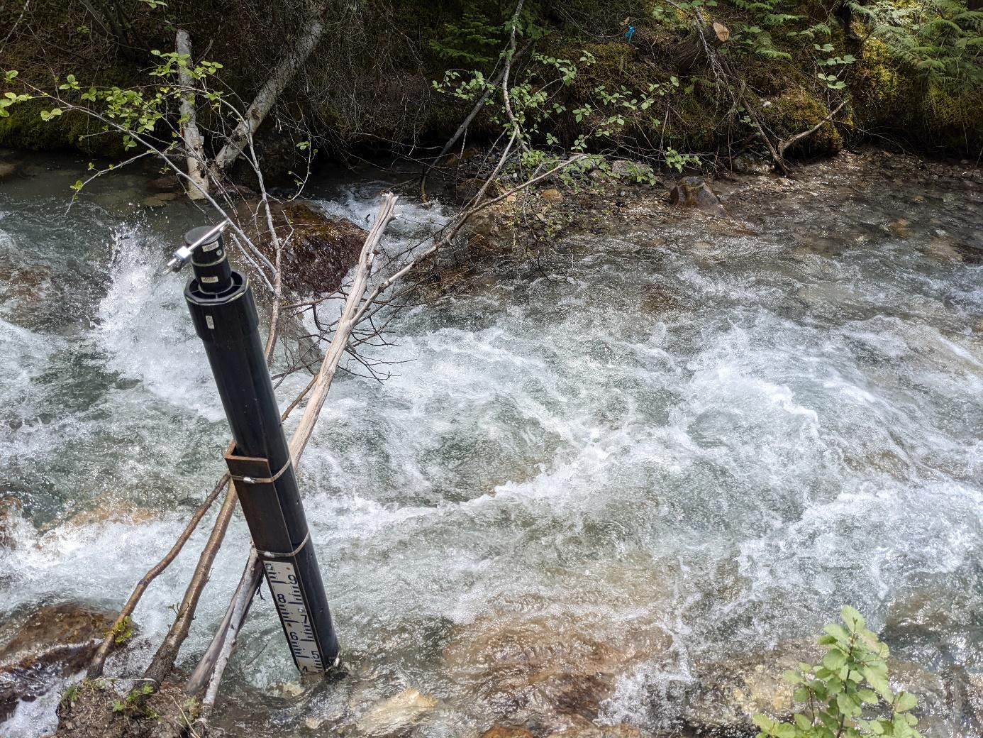
Photo for Kindersley Creek Hydrometric Station
JPEG
Photo of Kindersley Creek Hydrometric Station.
Additional Info
| Field | Value |
|---|---|
| Dataset Collection Organization | Living Lakes Canada |
| Dataset Steward Email | cbwaterhub@livinglakescanada.ca |
| Dataset Citation | Living Lakes Canada. (2023). Kindersley Creek Hydrometric (CKHKIN01H) [Dataset]. Columbia Basin Water Hub. https://doi.org/10.48511/4f0tqxmg |
| Dataset Upload Year | 2023 |
| Dataset Earliest Record Start Date | 2022-07-12 |
| Dataset Latest Record End Date | 2025-07-17 |
| Dataset Funding Description | For a current list of funders and supporters of this project refer to www.livinglakescanada.ca/project/cbwmf |
| Dataset Data Disclaimer | No warranty or guarantee exists that the information is accurate, complete, current, or suitable for any purpose. The individual user must confirm the accuracy of the data and whether it will be appropriate for their purpose themselves. |
| Other Data Sources | N/A |
| Brief description of dataset location | Monitoring station is approximately 5 km east of Spur Valley Green. |
| Dataset Type | Stream |
| Dataset Keywords | Hydrometric,Water temperature,Water Level,Stream,Discharge |
| Dataset Latitude | 50.762598 |
| Dataset Longitude | -116.129612 |
| Dataset DOI | https://doi.org/10.48511/4f0tqxmg |
| Station URL |